Ndian division is one of six administrative units that constitute the South West Region with its headquarters in Mundemba. Ndian has a surface area of 6,165km2 (25% of the region). The population (17% urban and 83% rural) in 2010 was 118,465 comprising 63,065 women and 55,399 men (source: SOWEDA projections) representing a population density of about 22 inhabitants per km2. This is largely due to the inaccessibility and the unfertile soils. The division covers a very low and indented point of contact with the sea. It has an amphibious area dominated by mangroves and creeks which make it difficult to penetrate and cannot be accessed by land. The use of creeks and canals as means of transport is not regular. Numerous sandbanks render access to sea difficult and limit movement only through small boats. There is no drinking water during the dry season coupled with the lack of drugs, food, schools and administrative offices make life difficult. There is a lot of marine erosion going on in the delta zone of the Ndian River and if nothing is done to check it, localities such as Ngosso and Barracks will soon disappear.
Climate
Kombo Itindi has distinct equatorial climatic conditions where Febrary is the hottest with an average temperature of 31.90C at midday while July is the coldest with an average temperature of 21.60C at night. September is the average month with the most of sun shine.The temperatures at night are cooler than during the day time. The wet season has an estimated rainfall of between 3,500 and 5000mm with the peak of rainfall around the month of August and the dry season is around the month of Febrary. This is characterized by dry winds that blow across the Sahara desert from the North East to a South Westerly direction. During this period, daily temperatures are high with a slight drop in the night.
Soils
Sandy soils composed of muddy deposits id commonly found within the municipality. This soil type is not good for agricultutre and is subject to flooding which justifies fishing as the main occupation of the inhabitants.
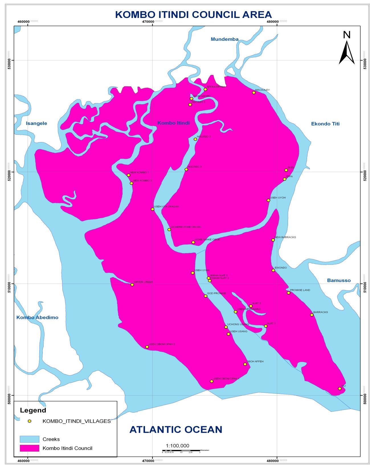
Relief
The Municipality has an undulating and a gentle relief with generally lowlands area. There are areas as low as 0m altitude at the sea level. The council has an average altitude of about 10m. Close to the Atlantic Ocean are the mangrove swamps, several creeks with white sand beaches that stretch to the Ndian River Basin.
Hydrology
The main water course in the council area is the sea including a few inland streams which are used for domestic activities and also periodically for drinking during the dry season.