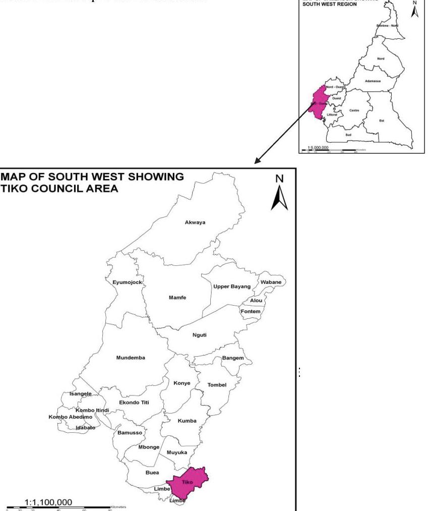
Tiko Council is one of the five councils of Fako Division in the South West Region of Cameroon. The council was created in 1974 as a rural council and in 2004 it was transformed into a Municipal council by virtue of Law No. 018/2004 of 22nd July 2004. It has a total surface area of 4,840 km2 and is bounded to the West by the Limbe council, to the North by the Buea council, to the North-East by Muyuka council, to the East by the Dibombari council in Mungo Division and to the South by Bonaberi council.
- Agriculture
- Livestock production
- Fishing
- Forest Exploitation
- Commercial activities
- Transport activities
Climate
The Tiko municipality has a coastal equatorial climate. There are two distinct seasons: a long rainy season of about 8 months and a short dry season of about 4 months. . The annual amount of rainfall ranges from 2000mm to 4000mm.The rainfall pattern provides suitable conditions for both perennial and annual crops to grow; thus providing ideal conditions for two cropping seasons a year. The rainfall is one of the most important climatic factors influencing agriculture, having the highest effect in determining the potential of the area, the crops grown, the farming system and the sequence and timing of farming operations. It is the supplier of soil moisture for crops.
Daily temperatures are high throughout the year and range from 28°C to 33°C
The atmospheric humidity varies with the absolute value and the seasonal distribution of rainfall, being uniformly high throughout the wet season, and falling to lower levels during the dry season
Soils
Information on soil is not readily available. However, from observations, the soils of the Tiko municipality are of sandy alluvial and volcanic soil types with high agricultural potentials. The volcanic soils are highly exploited for plantation agriculture. Due to poor farming techniques in the area, there is gradual decline in soil fertility.
Relief
Tiko municipality is mainly characterized by coastal lowlands with wetlands and flood zones and to a lesser extent by gentle undulating and rolling hills around Likomba and Mutengene. The lowland areas are the sites favorable for human settlement.
Hydrology
The main water courses in the Tiko municipality include River Mungo, the Ombe River, Ndongo and Benyo streams. Many smaller streams feed the main rivers and streams. These rivers and streams empty into the Atlantic Ocean. The river Mungo has many species of fish and sand that are highly exploited by villagers in the Mungo area. The streams and rivers are also used as sources of water for domestic use (washing, cooking, and even drinking) in most of the villages