There are possibilities of minerals in some parts of the council area. In the Mundabili slopes Ferrotic stones were observed which could be exploited for economic purposes. Bocom Petroleum has been given an autorisation to do some research on mineral potentials in this village.The council area is also endowed with a lot of sand in rivers and streams. This sand is exploited in small scale by the inhabitants for income. There exist quarries (lateritic pits) along the Yemge stretch of road which can be exploited for the construction of roads and other infrastructure. The inhabitants of the communities also exploit these minerals for their welfare and construction of houses.
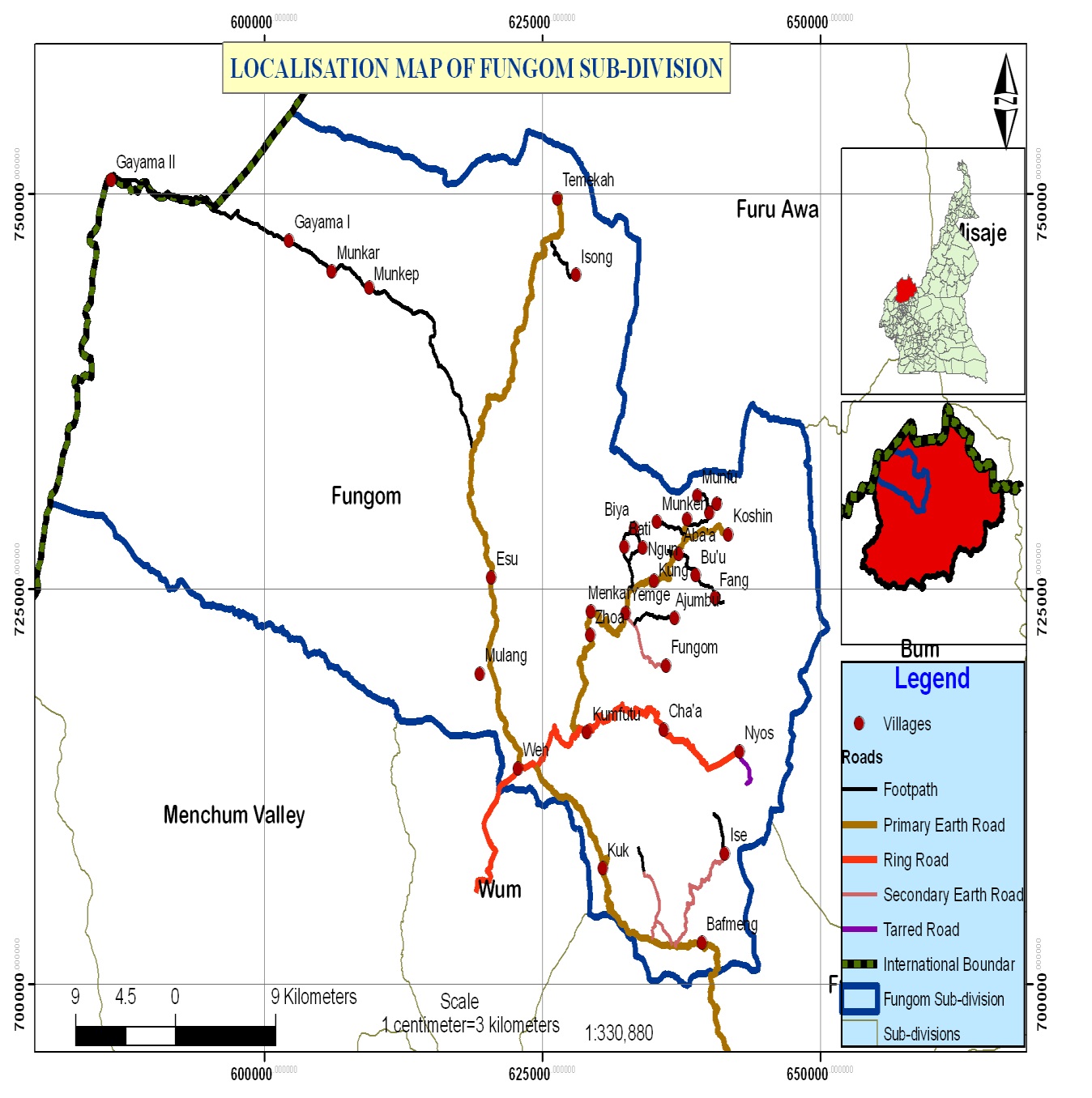
Zhoa council corresponds to the Fungom Sub division of Menchum Division in the North West Region of Cameroon. It has 26 villages, but for the purpose of planning the council area was carved into 35 planning units. The council has a total surface area of 7000km2. The council is bounded to the North by Furu Awa council and the Republic of Nigeria, to the South by MenchumValley and Wum Councils, to the East by the Republic of Nigeria and to the West by Bum council. Figure 1 below shows the location map of Zhoa council.
Climate
The council area has an equatorial climate with two distinct seasons: the rainy season (mid March to mid October) and the dry season (Mid October to mid March) .The annual amount of rainfall varies from 1300mm to over 2500mm.The rainfall pattern provides suitable conditions for both perennial and annual crops. The amount of rainfall is one of the most important factors influencing agriculture, livestock rearing; (nomadic trends of the Mbororo). Daily temperatures are average throughout the year and range from 25°C to 28°C.
Soils
The soils range from volcanic, clay loam, lateritic, salt and sandy alluvial soil types with high agricultural potentials. The clay loam soils are highly exploited for the cultivation of crops like maize, coco yams, egusi and plantains. Sandy alluvial soils are exploited for groundnut farming plantation agriculture. Due to poor farming techniques in the area, the soil is being depleted and gradually losing its fertility. Lateritic soils are often used in making bricks for construction of houses.
Relief
The urban space relief of the municipality is characterized by undulating and unseen rolling hills and mountains. The area is generally an open-shrubby – savanna. The area has steep slopes <25% in Parts of Mmen, Nyos, Koshin, Mundabili, Munken, Esu and Zhoa. The area can be classified in the mid altitude zone which lies about 900-1500m above sea level. Both the lowland and hilly areas are favorable for human settlement. The area has some susceptible landslide zones in lower Nyos area, Cha’a and Munken. The undulating and rolling hills serve as grazing sites and could be used for creation of private and municipal forest plantations.