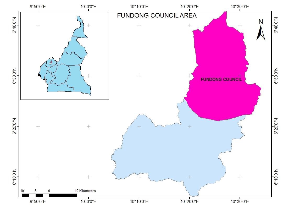
Fundong Council is found in Fundong sub division in Boyo Division of the North West region. It is located within the grassland savannah area of the mountainous western highland region of Cameroon. It is situated about 68km from Bamenda. Fundong sub Division is found between latitude 6o4’ and 6o20’ north and between longitude 10o11’ and 10o30’ East. It is surrounded by Wum sub divisions to the west and to the east by Noni sub divisions while to the north it is bounded by Fungom sub division and to the south by Njinikum sub division. The entire sub division covers a land surface area of about 519 square kilometres with 34 villages and numerous quarters.
- Agriculture
- Commerce
Climate
Fundong municipality is generally cold, windy and wet. Sometimes it is warm, dry and sunny during spells. Temperature ranges from 15°C to 38° C with average temperature of 24.5 to 29.7°C. Average annual rainfall stands at 2400mm per annum and humidity of 82% with two seasons. The rainy season begins from mid march to mid October and a dry season that extends from mid October to mid march.
Relief
The Fundong Municipality is found in the mountainous stretch of the western highlands characterized by agro-ecological zone of Cameroon. The topography ranges between 40-70% slopes; with undulating hills and deep valleys. There is also the existence of warm tropical swamp.
Soils
The soils are dominantly volcanic with laterites, sands and loams in depressions. In most low lying areas, soils are thick, humus and rich e.g. sedimentary warm humus rich/fertile soils. Generally, the dominant soil types within Fundong Municipality are lateritic and ferralitic soils.
Hydrology
The major rivers found within the Fundong Municipality are Nkoini which also serves as the natural boundary between Fundong and Njinikom sub divisions; the Jviaffief, which flows from Ijim forest crossing through Fundong Town and down to Menchum in the west; Jvia Ngwa which runs from Ijim via Muteff, Abuh, Ngwa and Meli and it also separates the Fundong Municipality and ZOA Council; Jvia Ngunabum which flows from Ijim passing through Ilung and Ngunabum and joins River Kimbi. Other streams of significant value are Jvia Ibolem, Jvia Mboh which both flow from Ijim Forest and into Jvia Ngwa. Also found are prominent springs and waterfalls like “Tchimni” in Fundong Centre and the Laikom, Akeh and Ajung waterfalls.
Flora
Fundong council area is generally described as tropical grasslands or humid savannah with dominant forest woodland and re-growth savannah with grass and shrubs. There is also a gallery forest found in Mbam and a re-growth savannah found around the neighbouring Mentang village.