Mineral resources
The main mineral resource commonly found within the Njinikom Municipality is the basalt, commonly called “the black stone”, exploited and commercialized by individuals for the construction of houses and roads. This is a very big potential for the Council area as raw material for construction of any kind.
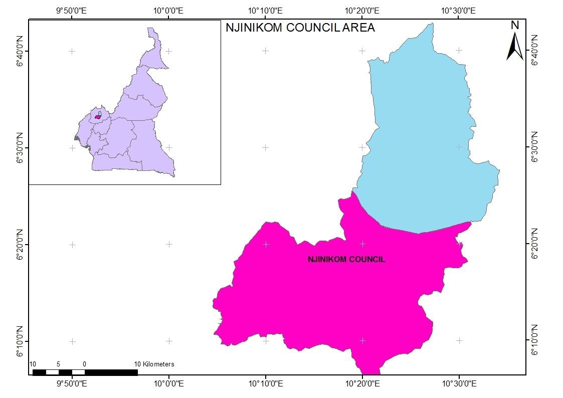
The Njinikom Council is found in the Njinikom Sub Division in Boyo Division of the North West Region of Cameron. Situated about 54 km from Bamenda, the Njinikom sub Division is found between latitude 6o20’ and 6o30’ North and between longitude 10o11’ and 10o30’ East and is surrounded by the Fundong sub division on the North and West side and by the Belo sub division to the South and East and by Oku and Babessi sub divisions while to the North it is bounded by Noni sub division and to the South West by the Bafut sub division.
Climate
The climate of the Njinikom Council area is cold with two distinct seasons; the dry and the rainy seasons. The dry season is marked by a windy and dusty atmosphere beginning from November to February while the rainy season is often windy and foggy starting from March to late October. During the dry season mean annual temperatures range from 14oC to 28oC. Rainfall is generally heavy, ranging from1800-3200mm per annum.
Relief
The Njinikom council area is found in the mountainous stretch of the western highlands agro-ecological zone of Cameroon. About eighty per cent of the land within the municipality is situated above 1400 meters in altitude and the topography is characterize by mountains, escarpments, valleys and plateau. Due to the hilly nature of the Njinikom sub division and the heavy rainfall often recorded in the months of August and September landslides have been common place in the sub division.
Soils
The Municipality has two principal soil types, modified orthic soils and penevoluted ferralitic soils which have undergone a lot of erosion and leaching due to poor farming methods and the relief.
Hydrology
There are many springs and streams which flow heavily down the hills in the rainy season but dry off in the hearth of the dry season as the water table drops.
Flora and Vegetation
There exist different types of vegetation in the Njinikom Sub division, the most common of which is the savannah shrub, comprising of stunted trees and grass. Some of the hills with the highest altitudes have forest ecosystems such as the Ijim Mountain Forest and the Mbueni desciduous forest.