Menji Council was created out of the former Nweh Mundani Council by Decree No 95/082 of 24th April 1995. Menji is 42 km from Dschang, 45 km from Bakebe which is found along the Kumba-Mamfe road and 256 km from Buea (capital of the South West Region) through Kumba and Bakebe. From Yaounde to Menji through Dschang, is a distance of 420km.
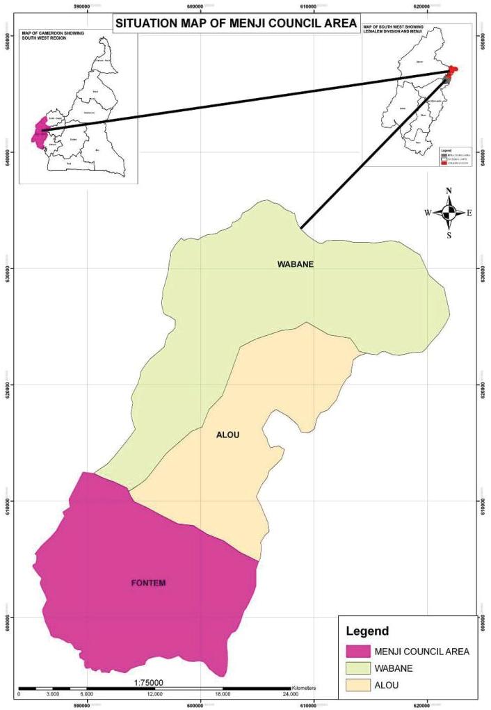
Menji council area is bounded to the South West by Tinto municipality in Manyu Division, to the East by the Fongo-Tongo municipality in the West Region and to the South by Nguti municipality in Kupe Muanenguba Division. Wabane municipality bounds Menji to the North-West, Alou municipality, to the North. It has a total surface area of 106 km2
The economic activities of the people of the municipality are mainly farming, small scale livestock production and hunting. Historically, communities have lived and depended on farming, hunting and gathering in the forests for their subsistence and livelihoods. These activities have been in fact the only source of their socio-economic mainstay although yields are low. This is due to poor soils, diseases and an ageing population. There are no processing facilities and little external investment. There are therefore few opportunities for employment. Combined with the collapse of Robusta coffee prices since the mid 80s, the conditions have become so difficult because rate of rural exodus. A small quantity of livestock production is also carried out in the municipality; where cattle, goats, sheep, pigs and fowls are produced on a very small scale.
The rate of scolarisation at primary school level is quite high, at about 90%. Access to health facilities is still limited, with most of them concentrated around the greater Menji - Azi area. There is a high incidence of Malaria. The prevalence rate of HIV/AIDS is high although this has been explained as being due to the large numbers of infected persons who return from the towns and cities to the area for treatment in the good mission hospital –Mary Health of Africa.
areas could be transformed or decreed protected sites. If this is done it could be a haven for eco-tourism in the council area in particular and in the other council areas in general.
Mineral Resources
From the research carried out from primary and secondary sources no mineral resources have yet been discovered in the Menji Council Area. It is however believed that the bauxite deposits at Fongo-Tongo municipality in Menoua Division could be stretched to the Menji municipality.
Climate
The climate in this area is of a typical Cameroonian-Montane type, made up of two seasons - the wet season lasting about seven (7) months and the dry season which is shorter. The wet season is from the month of April to November and sometimes to December with a lot of heavy rainfall in the months of September and October, while the dry season is from December to April; with occasional rainfall during this period. Maximum rainfall in the division has slightly been above 900mm The Council Area has high temperatures than in any part of the division.
Soils
The soils are made up of shallow ferruginous materials derived from ancient basalt especially in the areas of Ndungweh and Quibekwu. There exist some patches of laterite in the down south of the council area. In the northern part of the council area is ferrallitic soil derived from granite. These soils are enriched by a high rate of humus formation following the high rate of leaf fall and decay. However, taken into consideration that the amount rainfall is high in the area, the soil is heavily leached and the rate of erosion is consequently high especially in the upper and middle Essoh-Attah and towards Njoagwi.
3.2.3. Relief
The landscape of the Council Area is that that looks as if it were hastily made, magnificent, uneven and difficult to inhabit. It has awe-inspiring mountainous scenery with its accompanying steep sometimes perilous roads and paths crossed by rushing streams. The main diction used in describing the area are hills and valleys.
Hydrology
There are many rivers and streams that run down the hilly topography of the Council Area. Even though some of these streams are drying off as a result of intensive anthropogenic activities on their catchments and watersheds, the rivers Bechou, Bejie, Efrue, Ntsembue, Betenten, Betsue, Mbi, Mbra, Mbelep Agonanyi, Geleh, Bejeuh and Ntse-chah ( which the Germans mispronounced Cha-cha and where the name Foreke cha-cha is derived) along with other upland streams are found in this municipality. Most of them have lost their vitality and volumes. The characteristics of the streams in this area are:
- The stream regimes are both equatorial and tropical.
- Most streams fluctuate in volume, reduce in the dry season and full in the wet season.
- Apart from River Betenten that demarcates the boundary between Upper Bayang and Fontem Sub Division, streams are relatively small in volume to possess enormous resource potentials.
- All the streams have rugged beds and therefore flow is in series of rapids.
- All the streams are all in their youth ages. Winds
The area is swept by two types of winds: the northeast Hamattan wind from the east-west plateau brings along the dry season and the southeast monsoon from the west brings rain. The winds are strong and sometimes destroy houses, crops, farmlands and trees. This is sometimes in April.