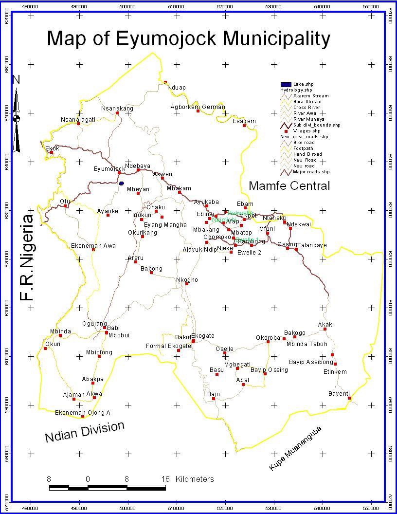
The Eyumojock council is found in Manyu Division of the South West Region of Cameroon situated some 45km from Mamfe the capital of Manyu Division. The municipality is situated roughly between the towns of Ikom in Nigeria and Mamfe in Cameroon figuring as one of the border councils in the Republic. It shares its western boundary with the Federal Republic of Nigeria, Akwaya lies in the north, Upper Bayang and Mamfe Central occupies the eastern boundary while the south is shared with the Mundemba and Toko councils. It extends from latitude 50 10’9’’ to 50 50’7’’ north of the equator and longitude 80 50100’’ to 90 20’5’’ east of the Greenwich Meridian. It covers a total surface area of approximately 3,442 km2 benefiting from three Forest Management Units (FMU 11001, 11003 and 11005).
Eyumojock is about 300km from the South West Capital, Buea.
The population of Eyumojock municipality is made up of three classes of people namely: farmers, businessmen and civil servants. Farmers make up about 60% of the total population. The rest (40%) of the population is involved in other sectors including administration, petit trading, teaching, transportation, hunting, fishing and forest exploitation. Activities like rearing are done on part time bases as supplementary for income generation.
Climate
The Eyumojock municipality with a single dry season of approximately five months (November to March) and a long wet season of approximately seven months (April to October). (Source: the Besongabang weather station, 2010).
Rainfall
The mean annual rainfall for the period of 2005 – 2007 was 3336mm. This however in the Central Ejagham area and gradually increases towards the Obang and Ejagahm Njemaya areas. Monthly rainfall recorded indicated that the highest rainfall was recorded in July and August in the area.
Humidity and Temperature
The mean monthly temperature ranges from 25oC to 29.3oC between 2005 and 2007 with a maximum monthly record of 27.9oC in March and the minimum of 20.4oC in August. The highest diurnal range in temperature is in the dry season as a result of very low mornings and night temperatures during the harmattan period.
Soils
A description of the geology and soils of the area can be done following Dumort (1965) description of the South West Region including the municipality. His description showed that the Precambian gneiss and cretaceous sedimentary sandstones which form old basement complex decomposes in situ into old sandy soils. These soils are heavily leached as a result of their low water retention capacity and the frequent heavy rainfall in the South of the municipality. Analysis of composite samples of the cores of the top 10cm of soils from the Korup national park which shares a common region with the municipality shows that the soils are strongly acidic (Low PH) and low in nutrients (Gartland, 1986; Newbery et al, 1988). However, in the north east, the soil is fertile because of the alluvial deposits, making the sedimentary soils to be good for the cultivation of palms, oranges and cassava. During the dry periods, due to excessive heat, the soils turn to loose almost all of its moisture making farming to be productive only during the wet periods.
Relief
The northern part of the municipality is undulating with occasional knife-edge ridges forming the watersheds around the Akwaya region. Here the elevation is between 135m to 237m above sea level. Towards the south and center (FMU 11003 and 11005), the area becomes more and more broken and hilly with an elevation ranging between 200m to 800m above sea in most areas. Towards the east the topography forms a river bed escarpment with the river munaya which continues with a gentle slope with frequent granitic out-crop.