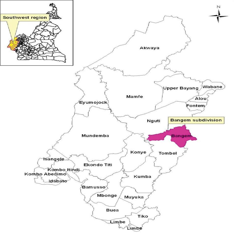
Bangem council is found in Kupe Muanenguba Division of the South West Region of Cameroon. It is about 94 km from the town of Kumba and has an altitude of about 400m above sea level, with a surface area of 1500 square km. The Council shares common boundaries to the north with Tinto Sub division, to the south with Konye Sub division, to the south-east with Bangem and Melong, to the east with Santchou, Dschang and Fontem and to the west with Eyumojock and Toko. Topographically, the land is generally flat and raised 400m above sea level with gentle and steep hills dotted within the thick humid forest in the municipality. It is host to several forest reserves including part of the Bakossi national park, Bayang Mbo and the proposed Muanenguba integral ecological reserve.
Climate:
The climate of the Bangem Council area is equatorial, with heavy rainfall fairly well distributed throughout the year and giving rise to forest vegetation and fertile soils. The dry season runs from the month of November to March. During this period, the weather is bright with little rainfall, cold nights and hot days. The rainy season, on the other hand, starts gradually from April and heaviest from August till late October. It has an average relative humidity of 80% and average annual temperature of 15-25 degrees centigrade, with dry season from November to February, light rains from March till May, and rainy season from June till October.
Rrainfall: Generally average rainfall varies between 515mm to 15mm per month around Bangem, peaking in August and sparingly in February.
Soils
Soil consists of a comparatively thin layer of materials that covers the underlying rock, on which plants grow. Soil dept ranges from a few centimeters to over a meter. The Bangem Council area is dominated by volcanic, soils. The northern area is composed of acidic and volcanic soils covering areas like Ebamut, Nteho and Enyando. The soil Nkikoh, Muabi, Nyan Poala, and Ekangte have been formed from the recent local deposited of the volcanic cones of Muanenguba Mountain. Mbat and Ekanben villages, which are also part of the zone (Nhia Clan), have volcanic and basic soils respectively.
Part of Nninong Clan (Ebonemin Mueba and Nkack), and from Muambong clan, have volcanic soils. South West in the Muatan clan i.e. central Assume (Muetanaku and Ngomin) the soil is acidic. While the Bangem clan have basic soil with some element of clay in it as the distribution of soil types closely approximates the distribution of rock types since soils are developed from the decomposition of rocks. Above all, the nature of the parent material will have a major effect on the properties of the young soils and may exert an influence on even the oldest soils.
Generally the soils across the Bangem municipality are volcanic, hydro orphic and ferralitic. This makes it possible for a wide range of plants to be cultivated. Additional organic and inorganic fertilizers are imperative for high yields. Most soils in the council are naturally rich. The soils on the slopes of Mounts Muanenguba are very fertile volcanic soils, which are suitable for the cultivation of a wide range of both cash and food crops. In some places, they are interrupted with sandy, clay, loam and sedimentary soils which are also very good for crop production
Relief
The Bangem municipality stands out as an area of irregular relief configuration of highlands and lowlands. Plains, deeply grooved valleys and caves, which give a distinct relief feature of the area, interrupt the highlands. There are areas as high as 2,396 meters around Mount Muanenguba. The mountain is of volcanic origin. In fact, it is an extinct volcano. The altitude ranges from 200 to 2,396 meters above sea level. The area has an outstanding mountain, namely, Mount (2,396 meters). The slopes of these mountains are made up of mainly fertile volcanic soils, which are good for the cultivation of a wide range of crops, and sustain a high dense tropical forest rich in both flora and fauna. Generally, the council area land is of low gradient, punctuated with a few ridges and hills, whose valleys had been deepened by run-off. The council area drained by a few rivers, with River Mungo being the biggest and longest. There are a number of crater lakes, including the Muanenguba twin lakes which are a very significant tourist attraction.
Hydrography
The hydrography is made of rivers, streams, springs and twin lakes.In the hinterlands, these springs and streams which take on different names at different locations serve as vital sources for drinking water. As far as rivers are concerned, the Muanenguba region has about five (5) major rivers with smaller streams emptying their water to them. In the southwestern part of this region, river Chide and river chunge are most prominent. Tributaries to river chide include river muamekum, (Muambong) toe (Ngomin) and chunge (nkincunge). River chide then moves southwest ward in addition to other small rivers in Tombel sub division to meet river mungo. River Dibomba stand southwards as the major river, with rivers like Moukoukume, Njabeu, Nedieu Ebong, Mberebe, Eyene and Djoube as tributaries. River Dibombe continues its movement southward to river Wouri. River Mbe with its tributary Muasum alongside river Mbwe appear to be prominent heading to the cross river in Manyu Division and Nigeria. Eastwards, river Adibengoh, Ntisan and Nye empty their waters into rivers Nkam. Due to the low altitude around Mboawasum area, this area has portions, which are swampy. Other swampy areas can be found around Mbourouku and Melong; meanwhile there is a pond at Muanyet.