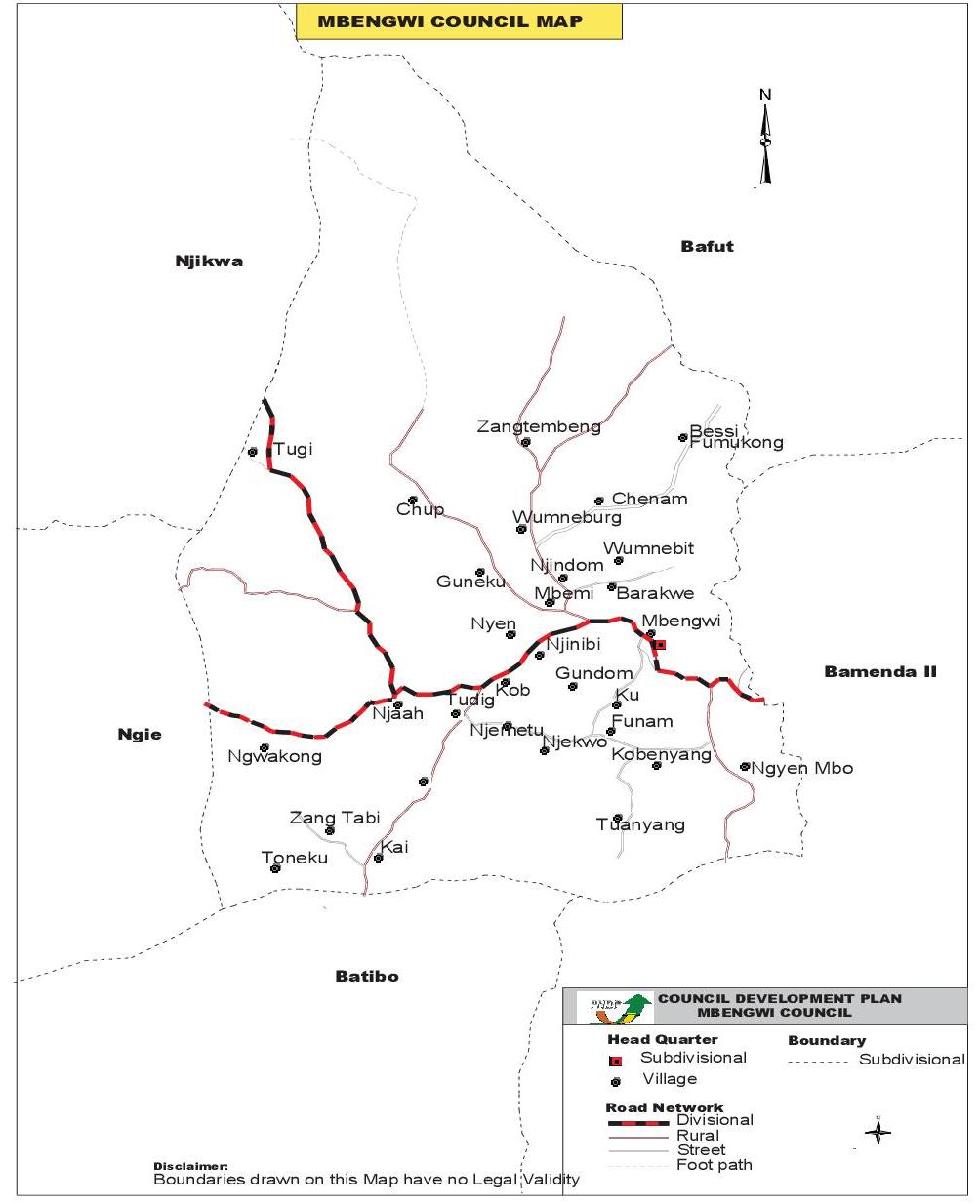
Mbengwi municipality is the Divisional capital of Momo Division in the North West Region of Cameroon. The Municipality derives its name from its chief town Mbengwi. The Mbengwi Council was created by decree N° 77/203 of 29/06/77. This Council area is situated some 20 km to the west of Bamenda town and at an altitude ranging from 900m to 2000m above sea level. It is located on the western slopes of the Adamaoua between longitude 100 00’ and 100 02’ East, and between latitude 60 00’ and 60 05’ North, in the Republic of Cameroon. It is bordered to the North by Lower Bafut and the Menchum valley, the East by Mankon and Bafut, South by Bali and Batibo, and West by Ngie and Njikwa. Mbengwi council area is made up of 29 villages with most of them located along the mile 20 Mbengwi Oshum road, going through Tudig, Njah Etu, Kai and Gwofan. This Municipality lies in the transitional zone between the forest and grass land regions of western Cameroon. Mbengwi council has a surface area of 147,000 square kilometers and 22 municipal councilors.
The main language spoken within the Mbengwi Council area is Meta. This is due to the fact that all the villages of the municipality have one common ancestry.